
PREcision drone mapping - LIDAR - THERMAL IMAGING
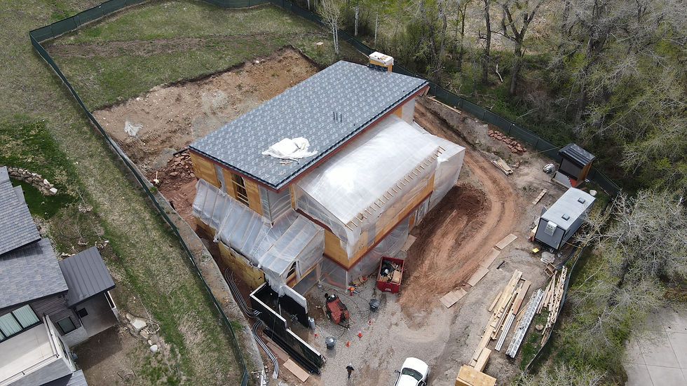
With the highest grade LIDAR and Thermal imaging systems we are here to provide the future in land mapping and project function
Services
providing you with the highest grade LIDAR and Thermal imaging Tech


results driven by experience
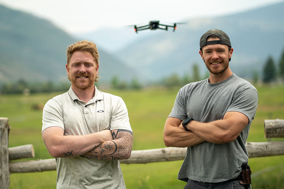
In this company you will find exactly what you are looking for! Levi handles high-end photography and drone flights stemming directly from his 12+ years as a lead cameraman for animal planet, IFIT, Discovery and others giving you the best possible outcome for your vision. Zachary handles the project and reports with a keen eye in construction and inspection reports coming from over 15 years of trade work and building some of the most high-end homes in the valley we ensure total reliability on every site mission. We have high-end still cameras with professional drone systems, our team provides a dual-layer approach to imaging. This synergy allows us to deliver both comprehensive aerial views and high-resolution ground-level detail, we provide the definitive visual data required for making the right decisions.
Eagle Eye inquires
Contact us is your curious about a service or what we can do for you, or if you know what your looking for let us know and we'll get back to you within the day.
Email: EETDroning@gmail.com
Phone: (970) 376-1272
